Name
Blackshark.ai
What We Do
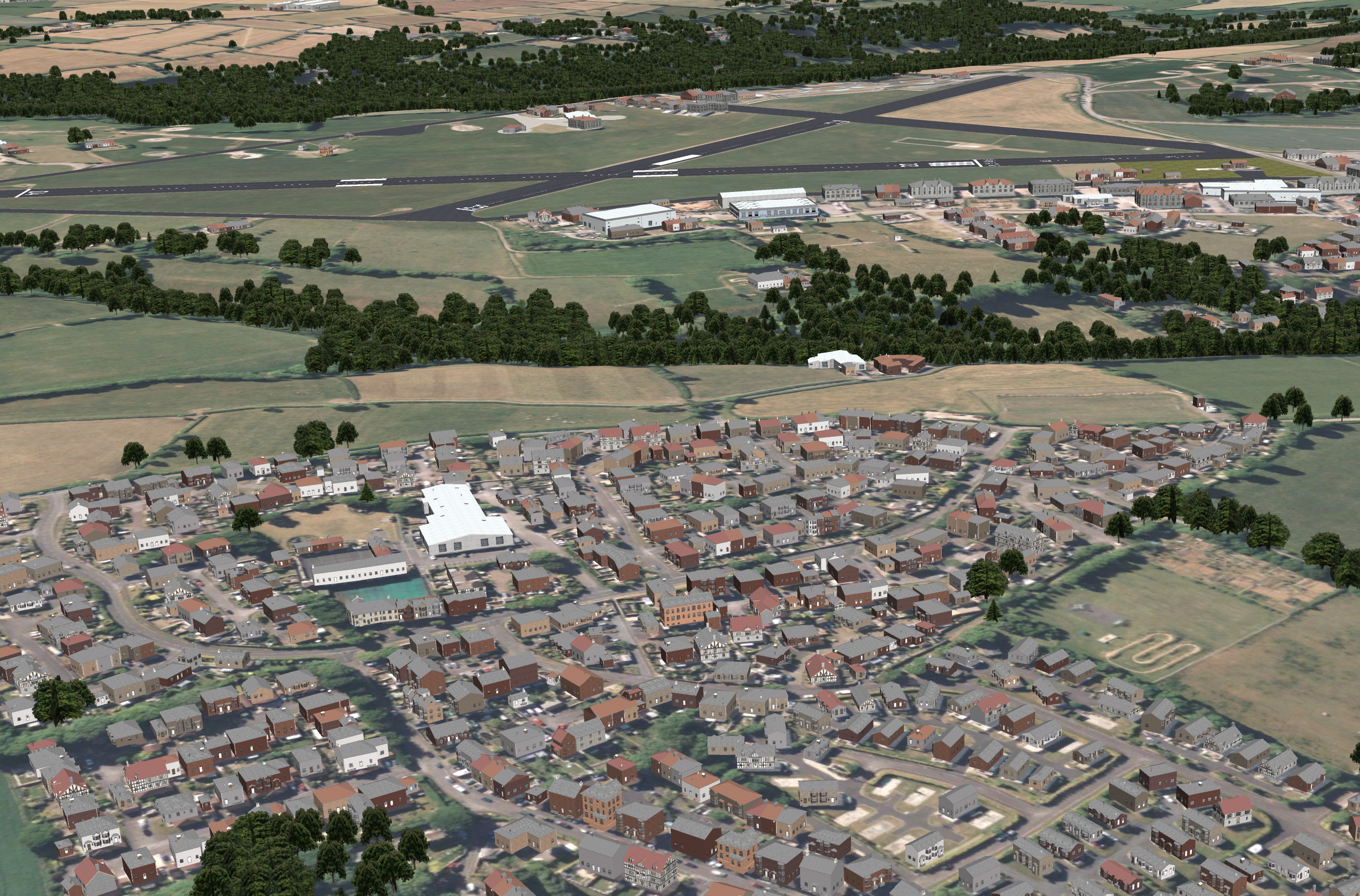
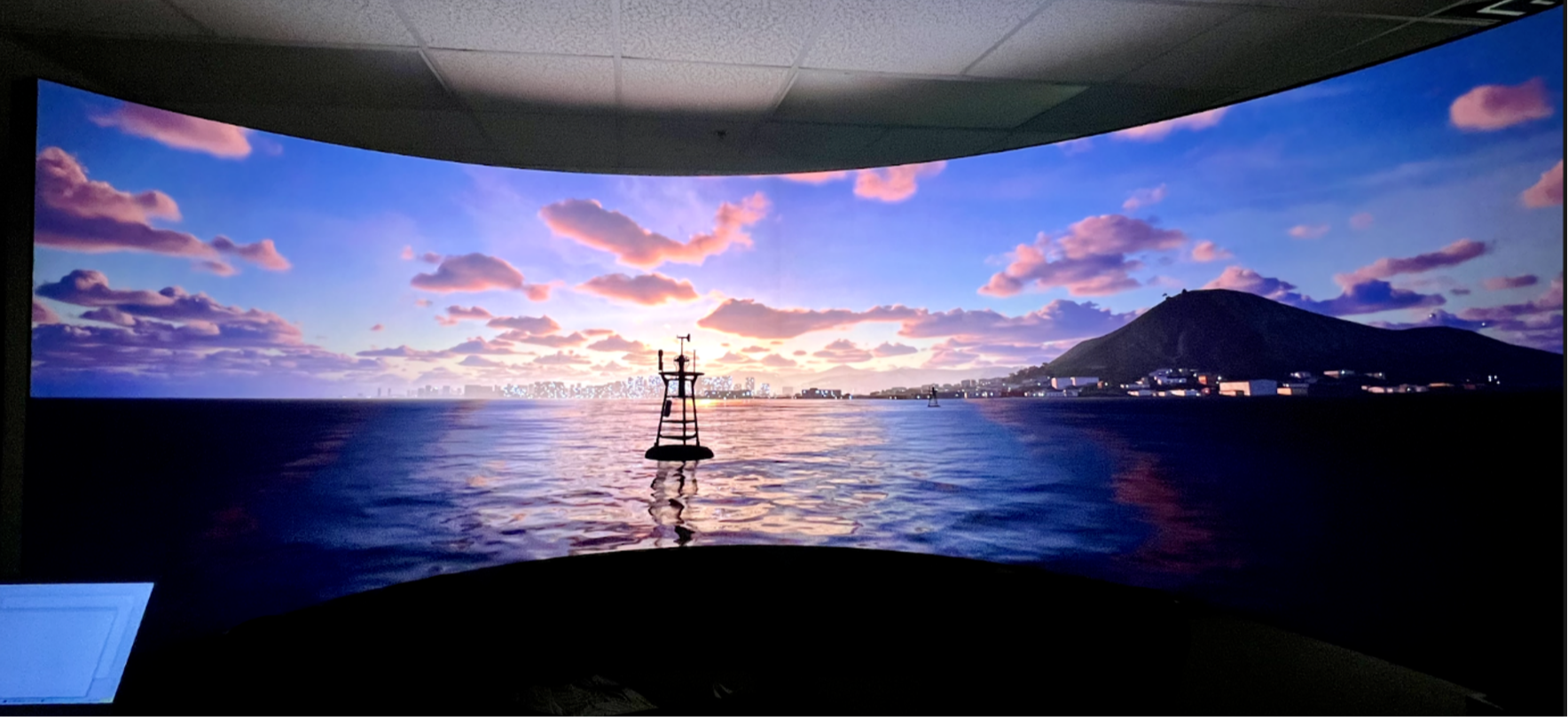
Blackshark.ai revolutionizes geodata analysis and 3D visualization with AI-supported dynamic mapping solutions. Using AI and satellite technology enables the rapid creation of AI models for object detection, data analysis, and change detection—without coding. Global satellite, GIS, and sensor data are used to automatically generate 3D terrain maps and simulations, including thousands of airports. A digital globe of terrain model, real satellite imagery and geotypical buildings and vegetation.
Website
Categories (3)
Artificial Intelligence, Flight Simulation & Training, Simulation Software
Address
Kaiserfeldgasse 1/1/2
Graz, Stmk 8010
Austria
Graz, Stmk 8010
Austria
Listings
Relevance


